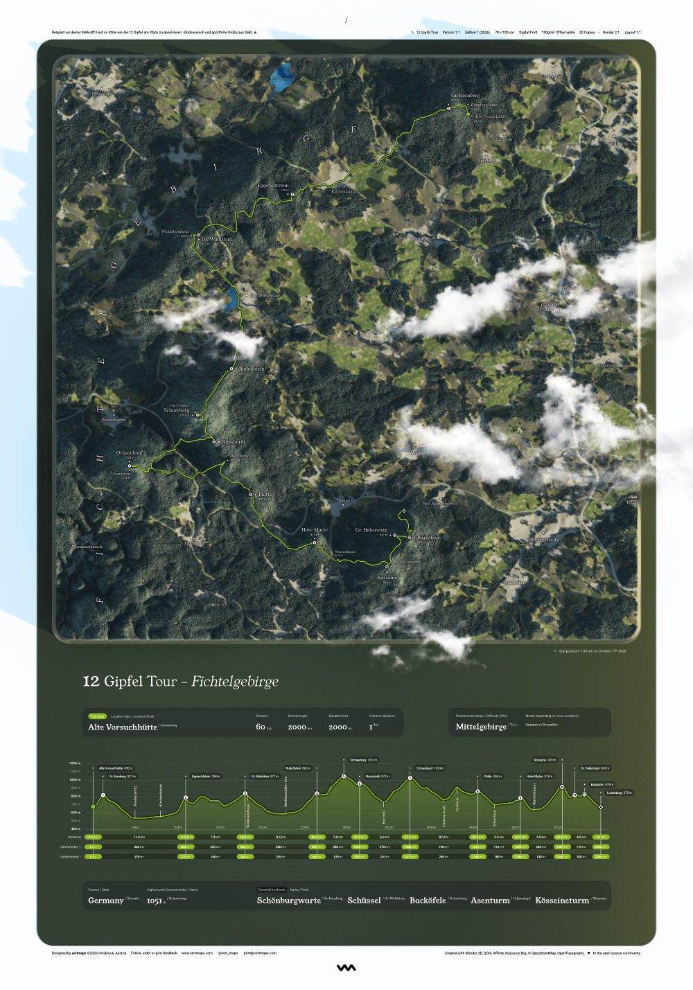
12 Gipfel Tour
Hike/RunFichtelgebirge, Germany
- 60 kmdistance
- 2000 mascent
- 1 dayduration
from €39,00
View on Etsy
 Shop prints
Hand-modelled maps · High-End prints
vertmaps turns real geo-data into premium prints. Every ridge is rendered in 3D to match the exact date, location, and light of your adventure.
The collection
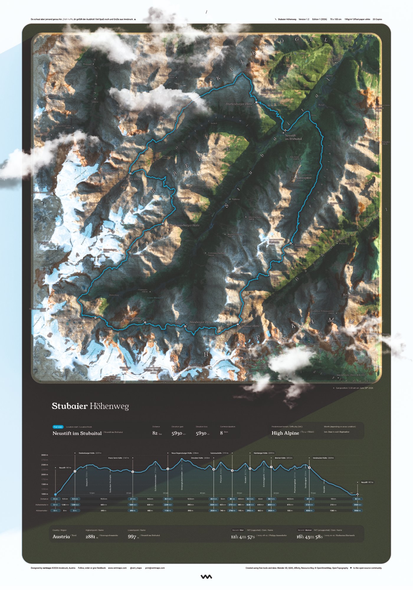
Each one walked, tracked, and rebuilt. Edition of 20.
Fichtelgebirge, Germany
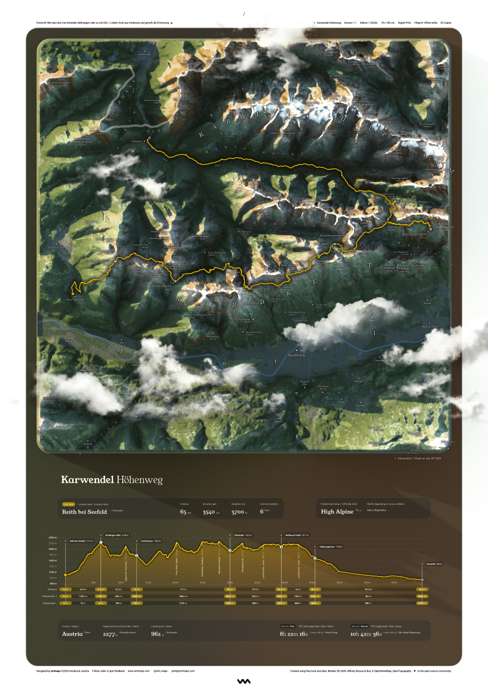
Tyrol, Austria
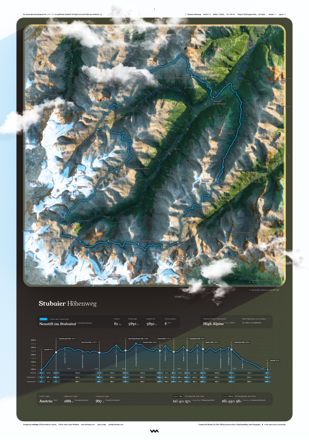
Tyrol, Austria
What's next
These five are under consideration. The route with the most votes by July gets modelled, and added to the collection.
Oberstdorf → Meran
Chamonix → Zermatt
France · Italy · Switzerland
Corsica, France
Germany · Austria · Italy
Tell me which trail deserves to hang on a wall, and I'll add it to the board.
Suggest a routeor email print@vertmaps.com directly
One of one
Your own thru-hike, hometown ridge, or the race you keep telling people about. Send your data, and it gets the same treatment as everything in the collection: real terrain, real route, one print.
Custom prints run higher than a collection print, typically starting at €100, depending on terrain, complexity and length. Individualizations of existing prints are also possible and run cheaper.
Start a commissionor email print@vertmaps.com directly
Send your GPX track, or provide a trail name and dates.
Data review and price estimation
Approve mockup and colourway
Printed once, on the same 190g/m² stock as the collection
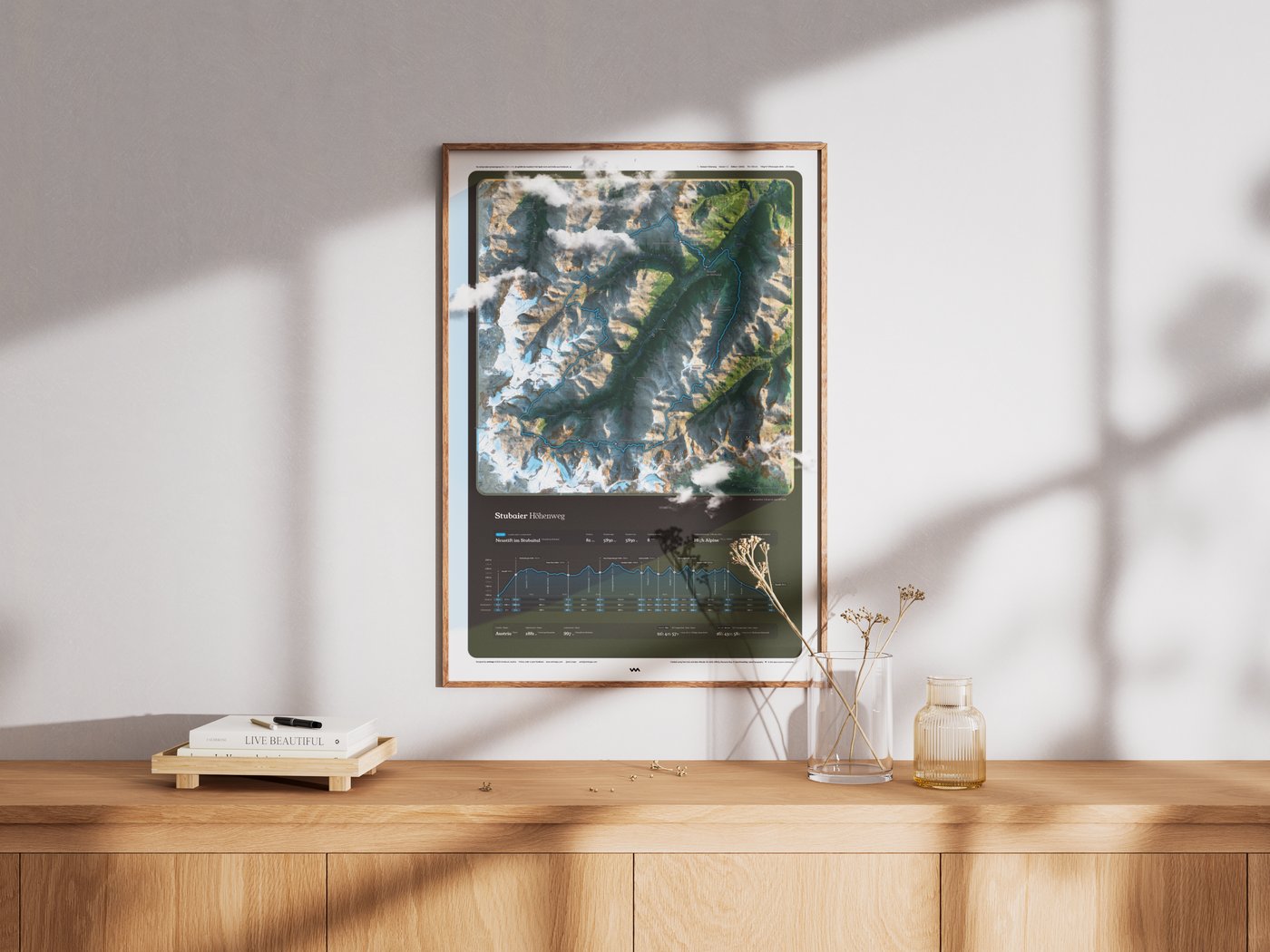
On the wall
Thanks to the built-in border, the map fits a standard 70x100cm frame perfectly, even your favorite Swedish one. Its rich contrast holds its own beautifully in daylight, free of glare next to windows. Just paper and ink doing the work the mountain already did.
How it's made
Elevation data and OpenTopography tiles are sculpted into a 3D model inside Blender. Every ridge and cirque is true geometry, lit and shaded like a physical relief model rather than a flat satellite crop.
Each terrain is lit from the sun's real position for that trail's coordinates, date, and time of day. The shadows on your map are the actual shadows that fell across the mountain, not a default studio light.
Every piece of data on the map is typographically crafted, curated, and adjusted to create a beautifully balanced composition. It is rich in detail, not for planning a route, but for hanging on your wall and getting lost in memories.
Track logs are transformed into a high-density infographics. By plotting exact milestones, distance, and elevation changes, the final print vividly captures the raw effort of every meter climbed.
Proofed for 190g/m² offset stock: colour, contrast, and line weight all tuned for matte paper under daylight, not a backlit display.
Up close
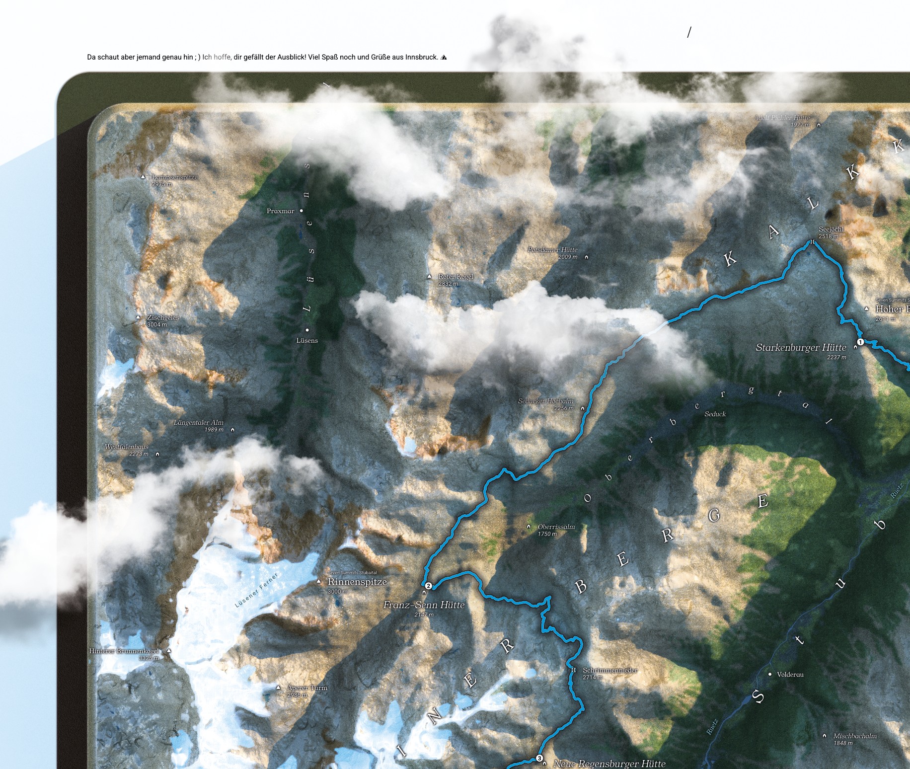
Zoom into any print and the terrain doesn't fall apart into pixels. Every hut, junction, and pass is labelled and numbered.
Who's behind this
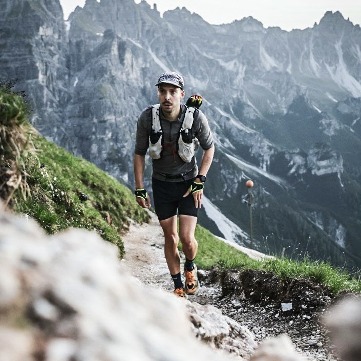
I'm a passionate trail runner and spatial interaction designer who loves maps, tables, and the outdoors. vertmaps is those two worlds combined. Hope you like it.
You've scrolled enough. Time to get outside!