 Coming soon
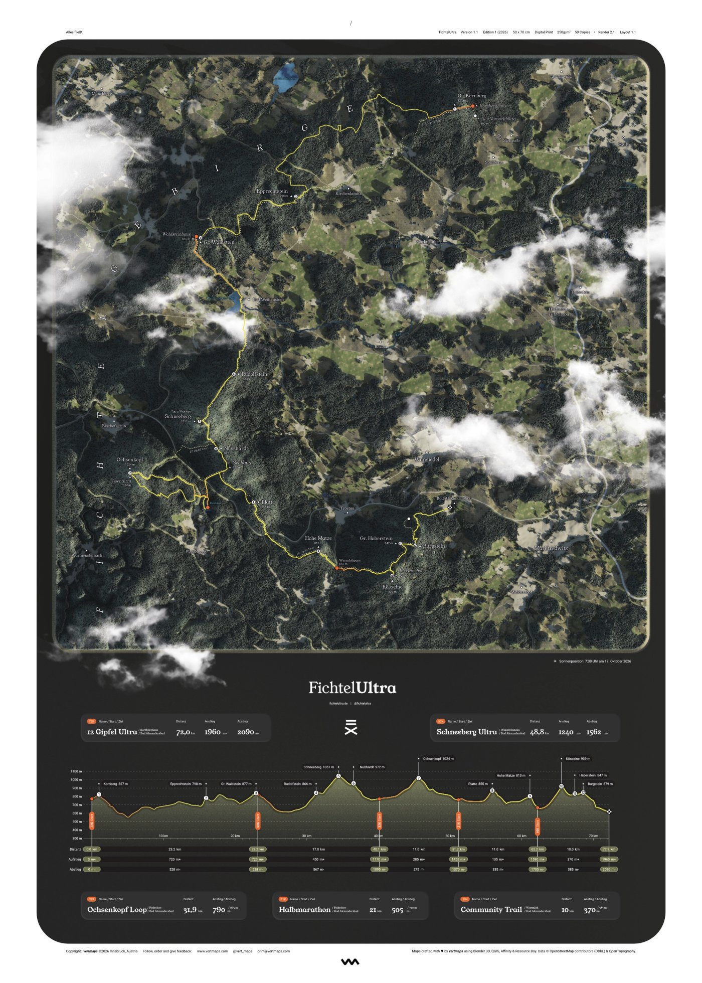
FichtelUltra
Fichtelgebirge, Germany

Hand-designed · Real sun position · Real terrain
Every ridge modelled in 3D, every hut labelled. Made for the wall, so the tour lives on somewhere other than Strava.
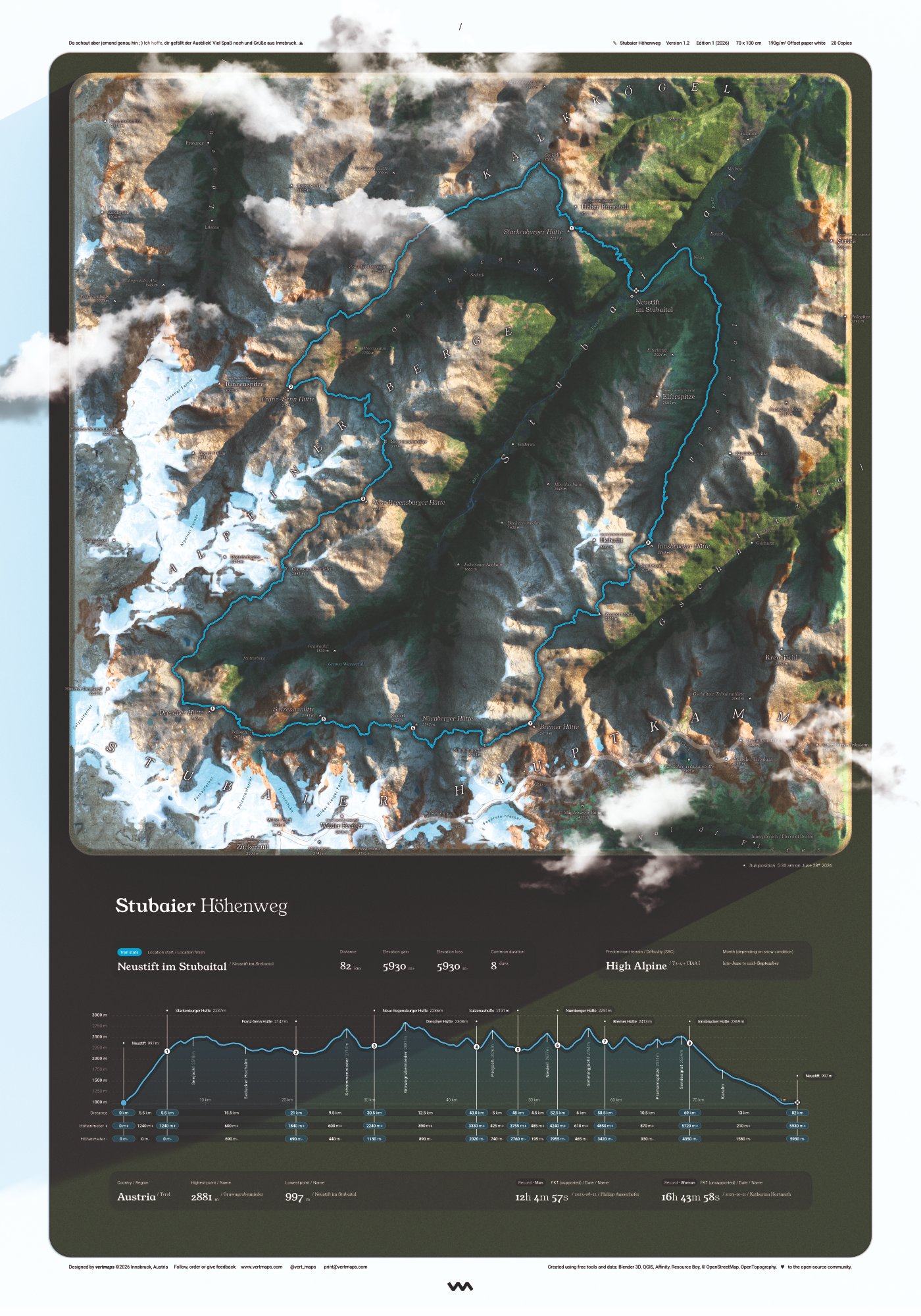
The best-known high-level routes, trails and races. Modelled from real geodata.
No maps match this selection. Remove a filter or choose "All".
Coming soon
Fichtelgebirge, Germany
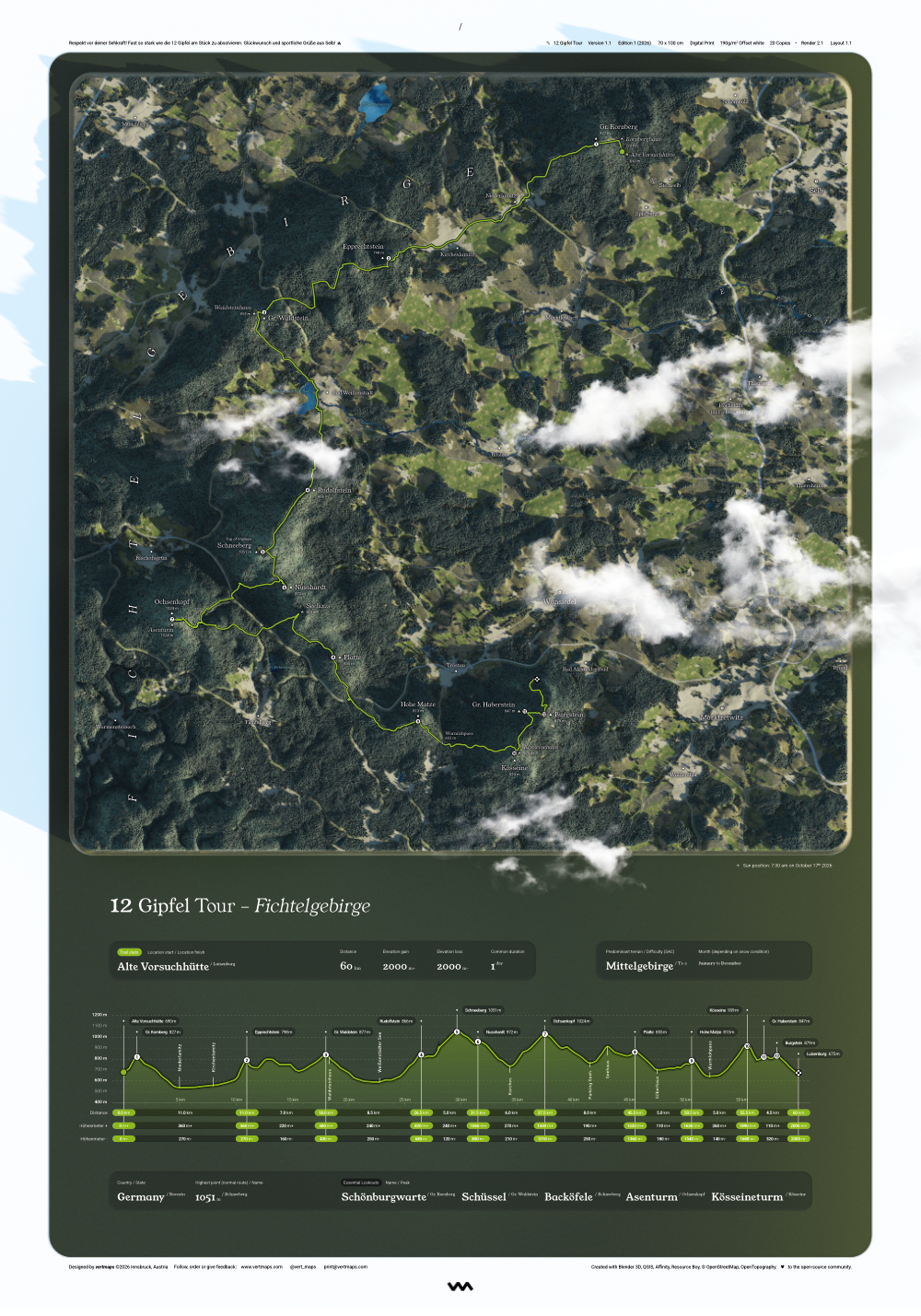
Fichtelgebirge, Germany
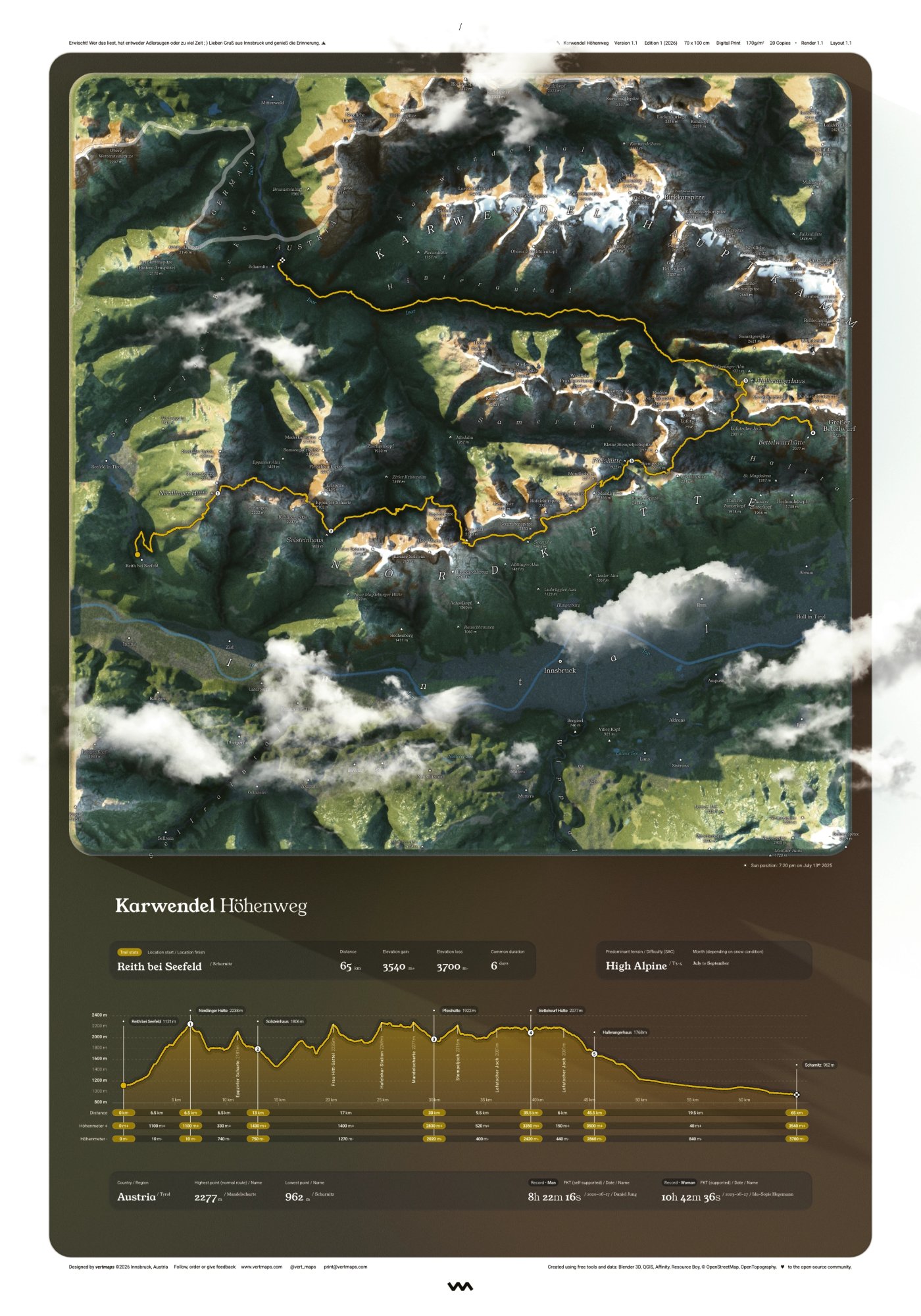 Coming soon
Tyrol, Austria
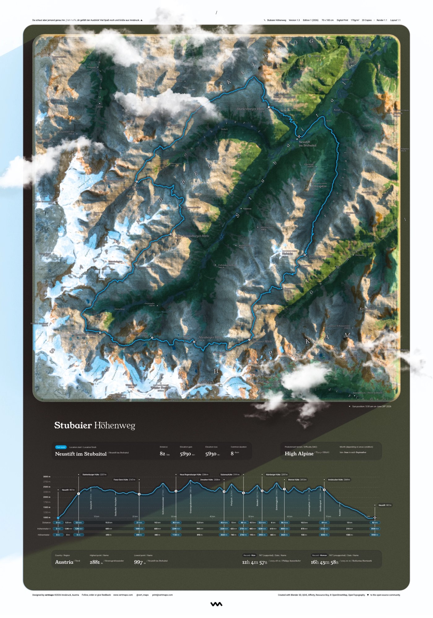 Coming soon
Tyrol, Austria
 Work in progress
Tyrol, Austria
 Work in progress
Tyrol, Austria
What's next
The route with the most votes will be modelled next. Whoever votes is the first to hear when it comes out.
Chamonix → Zermatt
Oberstdorf → Meran
France · Italy · Switzerland
Corsica, France
Germany · Austria · Italy
Tell me which trail deserves to hang on a wall, and I'll add it to the board.
Suggest a routeor email print@vertmaps.com directly
One of one
Your own thru-hike, hometown ridge, or the race you keep telling people about. Send your data, and it gets the same treatment as everything in the collection: real terrain, real route, one print.
From €100, depending on terrain and length. Customisations of existing prints cost less.
Start a commissionor email print@vertmaps.com directly
Send your GPX track
Get your price
Approve the draft
Receive your print
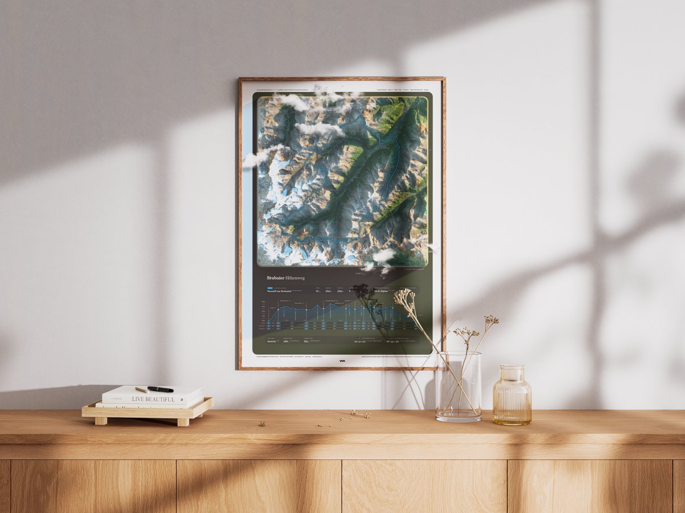
Thanks to the built-in border, the print fits a standard 50×70 or 70×100 cm frame perfectly, even your favourite Swedish one. Its rich contrast holds up in daylight, with no glare next to the window. The mountain did the work. Paper and colour just show it.
How it's made
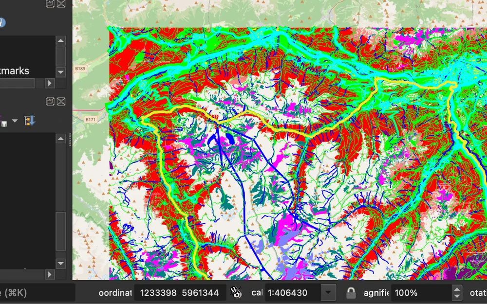
Everything starts with a GPS track. In QGIS I turn it into the data foundation: land cover, peaks and terrain from open geodata.
QGIS · data foundation
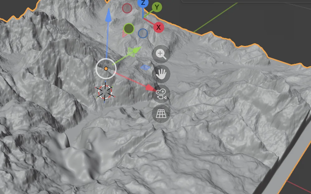
In Blender this becomes the 3D model. Every ridge and cirque is real geometry, not a flat satellite crop.
Blender · 3D terrain
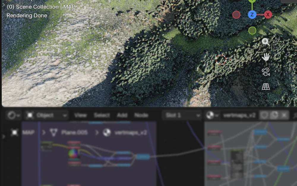
My own material turns land cover into 3D surfaces. I choose the sun position and season to match the tour.
Blender · custom material
Every map is designed by hand. The terrain is real 3D geometry, brought flat onto paper, with an astronomically accurate sun position.
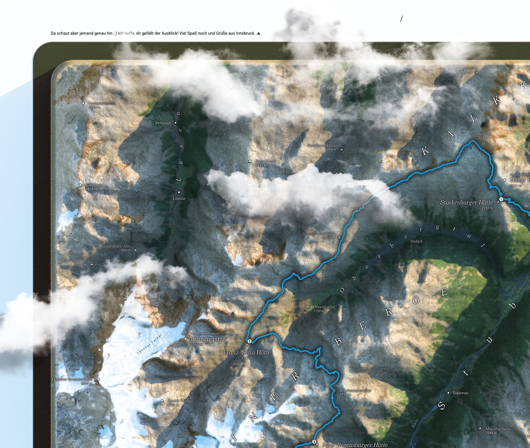
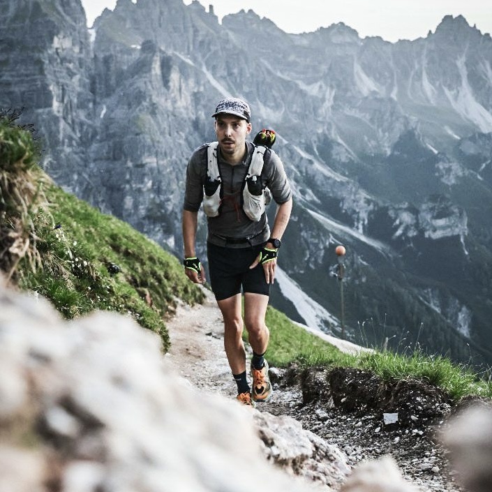
I'm a trail runner and designer. Out on the trail I count vertical metres, at my desk pixels. vertmaps brings the two together: maps full of loving detail that bring good memories back to life.
You've scrolled enough. Time to get outside!
Shop prints